Your Cart is Empty
Free shipping on US orders $120 and up (restrictions apply)
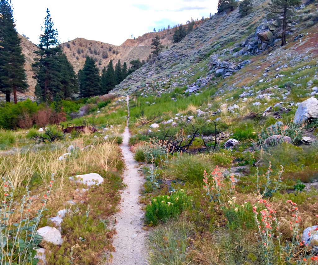
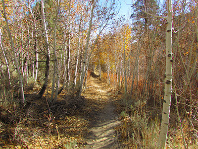
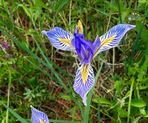
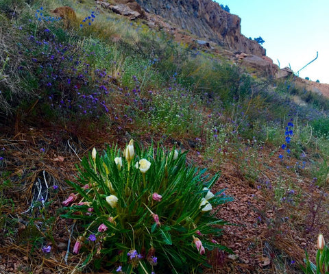
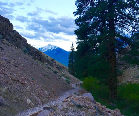
Lower Rock Creek is a classic Eastern Sierra trail that weaves its way along a creek bed. The bottom section is a rare opportunity for summer shade in lower elevations, and in the fall the aspens turn a beautiful gold color.
Distance: 8 Miles (approx)
Elevation Gain: 2200 Feet (approx)
Location: Paradise, CA
Time of Year: March to Nov. (The upper section will be snowed under most of the winter but the lower section is frequently free of snow during winter)
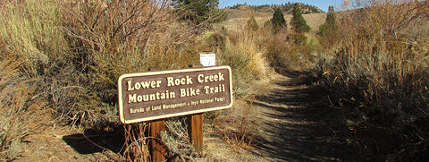
Directions from Bishop: North on 395 approx 9 miles. Turn west (left) on Gorge Road (Paradise turnoff). Drive 0.1 miles to Lower Rock Creek Road, turn right and go north approx. 2.5 miles to a hairpin bend in the road. You will see signs for the Lower Rock Creek trailhead here on the North or right side of the road. This trailhead has recently been improved and includes parking, signage and a portapotty. Walk back to the east past a house and look for signs to a trail that will take you past the private homes.
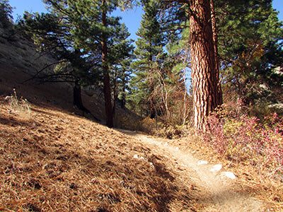
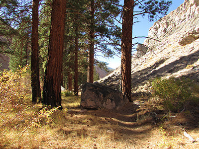
Description: This is also a mountain bike trail, so pay attention as the bicyclist frequently fly down the trail. Cross the road and start up the dirt road. The road has a chain across it blocking vehicular access with a sign saying no trespassing except for hikers and bicyclists using the trail. The dirt road crosses Rock Creek about ¼ mile up and then turns into a trail. The trail crosses Rock Creek several times as it winds its way up 1500 feet, where it crosses Lower Rock Creek Road. There is a parking area here on the west (left) side of the road. The trail picks up again on the North side of the parking area. Follow it about 1 mile and 200 feet of elevation, at which point it crosses the Lower Rock Creek road again (there is another parking area here). You must turn right and run down the road and over the bridge about 100 feet to pick up the trail again.
Follow the trail for another 2 miles and 400 feet of elevation and you’ll cross Lower Rock Creek Road again and another parking area. The trail ends here if you want to continue on to Tom’s Place cross the road and scramble up the embankment and through the brush for about 200 feet until you come upon a dirt road. Turn right on the dirt road and follow it 1 mile to the Upper Rock Creek Road. Cross Upper Rock Creek Road and pick up Crowley Lake Drive (a paved road going north) it is another ¼ mile to Tom’s Place. Have breakfast or lunch or return for a great downhill run. We also have these directions and a map for you!
Spring Rock Creek photos! Thanks, Tricia Moyer for letting us show off your great images!
Comments will be approved before showing up.